

Ever pondered the invisible yet profoundly significant boundary lines that demarcate a city’s dominion? These cartographic delineations, known as city limits, are far more than mere surveyor’s whims. They constitute the very armature upon which urban governance, resource allocation, and citizen entitlements are constructed. Understanding what these lines signify is crucial for anyone engaging with municipal affairs, from policymakers to residents.
The primary function of a city limits map is, ostensibly, to define the territorial expanse over which a municipality exercises legal jurisdiction. This is not merely about drawing lines on a map. It’s about establishing the geographical scope of authority. Within these boundaries, the city government holds sway, enacting ordinances, levying taxes, and providing essential services. This legal prerogative is fundamental to the functioning of any urban center.
However, the establishment of city limits is rarely a static affair. Municipalities frequently engage in annexations, incorporating adjacent unincorporated areas into their fold. This process, often driven by the desire to expand the tax base or gain control over strategic resources, can dramatically alter the urban landscape. A successful annexation can lead to an influx of residents, businesses, and revenue, but it can also create complex challenges related to infrastructure development and service provision. Conversely, a city might also cede territory, though this is considerably less common. It could involve correcting boundary errors or resolving disputes with neighboring jurisdictions.
Delving deeper, the implications of city limits extend far beyond the administrative realm. They have a pronounced impact on a plethora of everyday facets of life. Consider, for instance, zoning regulations. These rules, which dictate permissible land uses within specified areas, are enforced only within the city limits. A property situated just outside the municipal boundary might be subject to a completely different set of regulations, leading to discrepancies in development patterns and property values. The ramifications ripple through the economic ecosystem.
Furthermore, access to municipal services such as sanitation, water supply, and emergency response is typically contingent upon residency within the city limits. While some municipalities may offer services to non-residents on a fee-for-service basis, the primary responsibility for providing these services rests with the city government within its defined boundaries. This creates a clear distinction between those who contribute to the city’s coffers through taxes and those who do not. It is important for fiscal solvency.
Beyond services, city limits significantly influence political representation. Residents within the city limits are eligible to vote in municipal elections and participate in local governance. This electoral franchise empowers them to shape the policies and priorities of their city government. Conversely, those residing outside the city limits lack this direct representation, although they may still be affected by municipal decisions, particularly those related to regional planning and economic development.
Now, let’s consider the impact on taxation. City governments rely on a variety of taxes, including property taxes, sales taxes, and income taxes, to fund their operations. These taxes are generally levied only on residents and businesses within the city limits. The revenue generated is then used to finance public services, infrastructure improvements, and other municipal initiatives. The tax base, therefore, is intimately tied to the geographical extent of the city.
The delineation of city limits is not always straightforward. Natural features, such as rivers, mountains, and coastlines, often serve as convenient and readily identifiable boundaries. However, in other cases, the boundaries may be drawn along arbitrary lines, often following property lines or survey markers. This can lead to complex and sometimes convoluted boundaries, particularly in areas with fragmented land ownership patterns.
One of the most significant challenges associated with city limits is the issue of urban sprawl. As cities grow and expand, they often encroach upon surrounding rural areas. This can lead to a phenomenon known as “doughnut cities,” where the central city is surrounded by unincorporated suburban areas that rely on the city for services but do not contribute to its tax base. This imbalance can strain municipal resources and create tensions between the city and its neighbors.
Moreover, understanding city limits is also vital for businesses. Location within or outside the city can significantly impact operational costs, including taxes, permitting fees, and regulatory compliance. Businesses located within the city limits may benefit from access to municipal services and infrastructure, but they may also face stricter regulations and higher taxes than their counterparts in unincorporated areas. This becomes an essential point when it comes to the strategic positioning of your firm.
In an increasingly interconnected world, the importance of city limits might seem to be diminishing. However, they remain a fundamental aspect of urban governance and planning. They are the lines that delineate responsibility, shape resource allocation, and define the rights and obligations of residents and businesses. In short, the invisible lines on a city limits map exert a tangible impact on our daily lives. So, next time you cross one of these invisible thresholds, take a moment to consider the myriad ways in which this boundary influences your experience.
Gallery of Atlanta City Limits Map City Of Atlanta And Vicinity: Exhibit 1
Portland Oregon City Limits Map
fity.club
Moving To Madison Mondays: #2 | City Limits Explained – All Things Madison
allthingsmadison.com
City Limits Explained: What It Means For You? Find Out Now!
the-brain.blog
Map Of Canton Ohio City Limits | Maps Of Ohio
mapofohio.net
Lorena City Limits Map At Abby Grover Blog
storage.googleapis.com
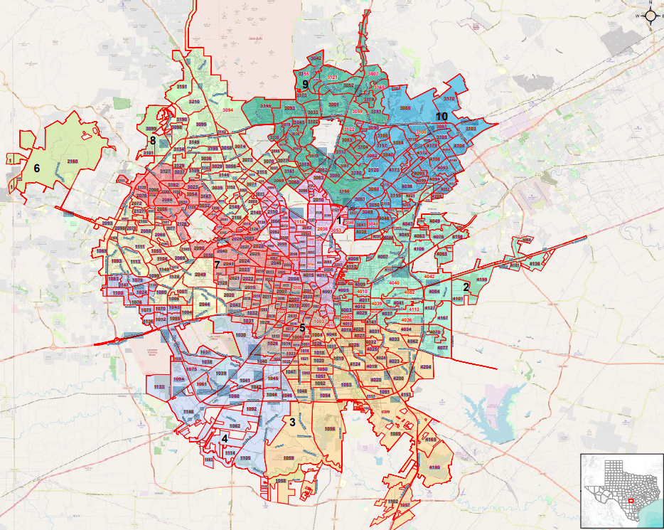
San Antonio City Limits Map San Antonio Texas US City Street Map
fity.club
Atlanta City Limits Map City Of Atlanta And Vicinity: Exhibit 1
fity.club
Vancouver Wa City Limits Map Vancouver Launches New City Wide Planning
fity.club
Cleveland City Limits Map
fity.club
Columbus Ms City Limits Map
fity.club
Columbus Ms City Limits Map


Leave a Comment