

Coyote Gulch, nestled within the vast expanse of the Grand Staircase-Escalante National Monument in Utah, stands as a testament to nature’s artistry. This slot canyon, carved over millennia by the relentless flow of water, offers an unparalleled hiking experience. A thorough understanding of the Coyote Gulch map is not merely advisable; it is indispensable for navigating this captivating, yet demanding, terrain. This guide aims to provide hikers with a comprehensive overview of what to expect, ensuring a safe and enriching exploration of this geological marvel.
I. Navigating the Topographical Terrain: Deciphering the Map’s Language
The bedrock of any successful Coyote Gulch trek is a mastery of the topographical map. Contour lines, those seemingly innocuous squiggles, are the cartographer’s language for depicting elevation changes. Closely spaced lines denote steep inclines, while widely spaced lines indicate gentler slopes. Savvy hikers will scrutinize these patterns to anticipate the physical exertion required for each segment of the journey. Understanding the legend is also paramount. It deciphers the symbols representing critical features such as water sources, campsites, and potential hazards. A keen eye for these details can transform a potentially arduous hike into a strategically planned expedition.
II. Entry Points: Choosing Your Adventure’s Genesis
Coyote Gulch boasts several entry points, each presenting a unique set of challenges and rewards. The most popular access points include Red Well, Crack-in-the-Wall, and Hurricane Wash. Red Well, while offering relatively easier access, typically involves a longer approach. Crack-in-the-Wall, as the name suggests, demands a degree of agility and comfort with heights, as it requires navigating a narrow, precipitous fissure. Hurricane Wash presents a more gradual descent but can be significantly impacted by flash flood conditions. The map will delineate the trails leading to each entry point, providing crucial information about distance, elevation gain/loss, and potential obstacles. The prudent hiker meticulously studies these options, selecting the entry point that best aligns with their skill level and risk tolerance.
III. Water Sources: Hydration is Paramount
In the arid landscape of southern Utah, water is not merely a commodity; it is the lifeblood of survival. Coyote Gulch, while containing a perennial stream, demands careful water management. The stream water, while visually appealing, may harbor harmful bacteria and protozoa. The map will often indicate the locations of springs and the main stream. It is imperative that all water sources be treated using a reliable filtration or purification method. Hikers should also carry an ample supply of water, particularly during the hotter months, to mitigate the risk of dehydration. A well-hydrated hiker is an alert and resilient hiker, better equipped to handle the challenges of the canyon.
IV. Campsite Identification: Establishing Your Base of Operations
Coyote Gulch offers limited but captivating camping opportunities. Designated campsites, often located on sandy benches adjacent to the stream, provide relatively level ground and some degree of protection from the elements. The map may indicate the locations of these established campsites. However, it is crucial to practice Leave No Trace principles, minimizing impact on the fragile ecosystem. Camp only in designated areas, pack out all trash, and avoid disturbing vegetation. A responsible camper is a steward of the environment, ensuring that Coyote Gulch remains pristine for future generations.
V. Potential Hazards: Anticipating the Unexpected
Coyote Gulch, for all its splendor, is not without its inherent dangers. Flash floods pose the most significant threat, particularly during periods of heavy rainfall. The narrow confines of the canyon amplify the force and speed of floodwaters, leaving little time for escape. The map will often highlight areas prone to flooding. Hikers should diligently monitor weather forecasts and avoid entering the canyon if there is any risk of precipitation. Additionally, slippery rocks, deep pools of water, and the potential for rockfall demand vigilance and caution. A proactive approach to hazard mitigation is the hallmark of a seasoned adventurer.
VI. Points of Interest: Unveiling the Gulch’s Hidden Gems
Beyond the sheer beauty of the canyon walls, Coyote Gulch harbors a wealth of geological and historical points of interest. Jacob Hamblin Arch, a majestic natural bridge, stands as a testament to the power of erosion. Coyote Natural Bridge offers another breathtaking spectacle. Cliff dwellings, remnants of ancestral Puebloan cultures, provide a glimpse into the region’s rich past. The map can guide hikers to these specific locations, enriching the overall experience. A curious mind, coupled with a keen eye, will uncover the myriad stories etched into the canyon’s very fabric.
VII. Understanding Escape Routes: Planning for Contingencies
While the intention is always to complete the hike safely and according to plan, unforeseen circumstances may necessitate an early exit. The map should identify potential escape routes, offering alternative paths out of the canyon. These routes may involve steep climbs, scrambling over boulders, or traversing exposed ledges. It is crucial to assess the difficulty of these escape routes beforehand, ensuring that they align with the hiker’s physical capabilities. Having a backup plan is not an admission of weakness; it is a testament to preparedness and sound judgment.
VIII. Technological Augmentation: GPS and Digital Mapping
While traditional paper maps remain invaluable, technological advancements have ushered in a new era of navigational tools. GPS devices and digital mapping applications offer enhanced accuracy and real-time tracking capabilities. These tools can overlay topographical information onto satellite imagery, providing a comprehensive view of the landscape. However, it is crucial to remember that technology is not infallible. Battery life can be depleted, and satellite signals can be lost. Therefore, it is prudent to carry a traditional map and compass as a backup, ensuring that one remains oriented regardless of technological setbacks. Proficiency in both traditional and digital navigation methods represents the apex of backcountry preparedness.
Gallery of Ultimate Hiking Guide To Coyote Gulch In Utah – Aloha Adrian
Hiking In Coyote Gulch #2 | Glen Canyon National Recreation Area, Utah

www.mountainphotography.com
Coyote Gulch Hiking Backpacking Guide – Artofit
www.artofit.org
Ultimate Hiking Guide To Coyote Gulch In Utah – Aloha Adrian
alohaadrian.com
Coyote Gulch – Your Hike Guide
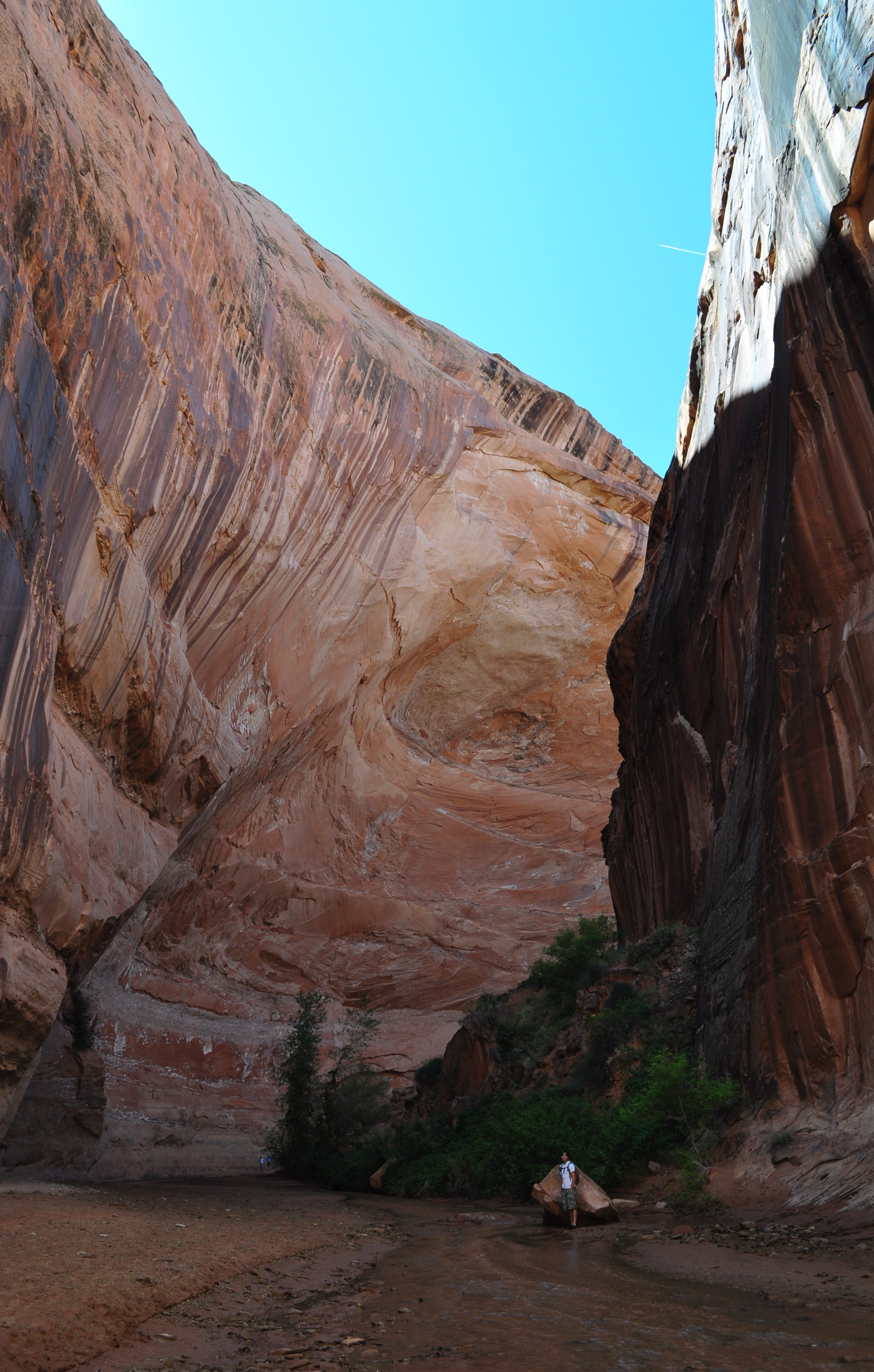
www.yourhikeguide.com
Ultimate Hiking Guide To Coyote Gulch In Utah – Aloha Adrian
alohaadrian.com
Ultimate Hiking Guide To Coyote Gulch In Utah – Aloha Adrian
alohaadrian.com
Ultimate Hiking Guide To Coyote Gulch In Utah – Aloha Adrian
alohaadrian.com
Coyote Gulch, Utah : R/hiking
www.reddit.com
Hiking In Coyote Gulch #1 | Glen Canyon National Recreation Area, Utah
www.mountainphotography.com
Hiking In Coyote Gulch #3 | Glen Canyon National Recreation Area, Utah
www.mountainphotography.com
Hiking in Coyote Gulch #3 | Glen Canyon National Recreation Area, Utah …


Leave a Comment