
The Eagle Creek Fire, a conflagration that ravaged the Columbia River Gorge in 2017, continues to pique curiosity. It’s more than just morbid fascination; it’s the humbling realization of nature’s raw power and the precariousness of our place within it. This incident served as a potent reminder of how rapidly a serene landscape can transform into an inferno, leaving an indelible scar on both the environment and collective memory.
Understanding the fire’s impact necessitates a detailed examination of the area it affected. Let’s delve into the specifics of the Eagle Creek Fire’s geographical reach and ecological consequences.
The Eagle Creek Fire: A Geographical Overview
The fire’s genesis can be traced back to a teenage pyrotechnic mishap on the Eagle Creek Trail. From this ignoble origin, the fire aggressively propagated throughout the Columbia River Gorge. Driven by strong east winds, the blaze traversed rugged terrain, leaping across natural firebreaks with disconcerting ease.
Its primary impact zone encompassed tens of thousands of acres within the Columbia River Gorge National Scenic Area. This included not only Oregon’s side of the gorge, but also pockets within Washington state. Popular recreational areas, such as Multnomah Falls and Cascade Locks, found themselves directly in the fire’s path or within its immediate proximity.
Mapping the Devastation: Key Areas Affected
Several specific locales bore the brunt of the Eagle Creek Fire’s fury. Let’s consider these pivotal locations:
- Eagle Creek Trailhead and Surrounding Wilderness: The epicenter of the fire experienced complete combustion, leaving behind a landscape sterilized by the intense heat. The trail itself was rendered impassable, necessitating extensive reconstruction efforts.
- Multnomah Falls and Historic Lodge: While the iconic waterfall and its historic lodge thankfully survived, they were threatened. Firefighters mounted a herculean defense to protect these treasured landmarks, showcasing their unwavering commitment and technical prowess.
- Cascade Locks and the Bridge of the Gods: The town of Cascade Locks, a critical transportation hub, faced imminent danger. The Bridge of the Gods, connecting Oregon and Washington, served as a symbolic dividing line between safety and potential devastation.
- Residential Areas Near the Gorge: Several residential areas bordering the gorge experienced mandatory evacuations. Residents faced the agonizing uncertainty of whether their homes would survive. Some faced the grim reality of total loss.
- Ecological Sanctuaries Within the Gorge: Irreplaceable ecological treasures, old-growth forests, and delicate riparian zones were severely damaged. The long-term impact on biodiversity and ecosystem health remains a subject of ongoing investigation.
Ecological Ramifications: A Cascade of Consequences
The Eagle Creek Fire inflicted profound ecological damage. The immediate aftermath manifested in:
- Extensive Deforestation: Vast swaths of forest were reduced to ash, eliminating critical habitat for a multitude of species.
- Soil Degradation: The fire’s heat sterilized the topsoil, compromising its ability to retain water and nutrients. This increases the risk of erosion and landslides, compounding the environmental challenges.
- Water Quality Impairment: Ash and sediment runoff contaminated streams and rivers, negatively impacting aquatic life and posing risks to downstream water users.
- Habitat Fragmentation: The fire created fragmented landscapes, isolating populations of animals and hindering their ability to migrate and reproduce.
- Air Quality Degradation: Smoke from the fire blanketed the region, posing significant health risks to residents and impacting air quality for hundreds of miles.
The long-term ecological consequences are equally concerning. Reforestation efforts will require decades, if not centuries, to restore the pre-fire ecosystem. Invasive species, opportunistic and resilient, now have a foothold in the disturbed areas, threatening to outcompete native flora and further disrupt the ecological balance. The altered landscape also increases the risk of future wildfires, creating a feedback loop of destruction.
Recovery and Restoration: A Herculean Undertaking
The recovery from the Eagle Creek Fire is a multifaceted, ongoing endeavor. It requires a coordinated effort involving federal, state, and local agencies, as well as non-profit organizations and volunteers. Key elements of the recovery strategy include:
- Reforestation Programs: Planting native trees and shrubs is crucial for restoring the forest canopy and stabilizing the soil. This is a long-term investment that requires careful planning and execution.
- Erosion Control Measures: Implementing techniques to prevent soil erosion and landslides is essential for protecting water quality and infrastructure. This includes installing retaining walls, planting cover crops, and managing stormwater runoff.
- Invasive Species Management: Controlling the spread of invasive species is critical for allowing native plants to regenerate and thrive. This requires ongoing monitoring and targeted eradication efforts.
- Trail Reconstruction and Recreation Access: Reopening trails and recreational areas is important for restoring access to the gorge and supporting the local economy. This requires careful planning to ensure visitor safety and minimize environmental impacts.
- Community Support and Resilience: Providing support to communities affected by the fire is essential for fostering resilience and promoting long-term recovery. This includes offering counseling services, financial assistance, and opportunities for community engagement.
The Eagle Creek Fire serves as a stark reminder of the vulnerability of even the most cherished landscapes. By understanding the fire’s impact and actively participating in the recovery process, we can help ensure that the Columbia River Gorge remains a vibrant and resilient ecosystem for generations to come.
The fire’s cartographic footprint, documented in various maps and analyses, paints a vivid picture of devastation and resilience. These maps become more than just geographical representations; they are testaments to the enduring power of nature and the unwavering spirit of those dedicated to its restoration.
Gallery of Eagle Creek Oregon Map
Map Of Eagle Creek Fire
ansvers.com
Eagle Creek Oregon Map
fity.club
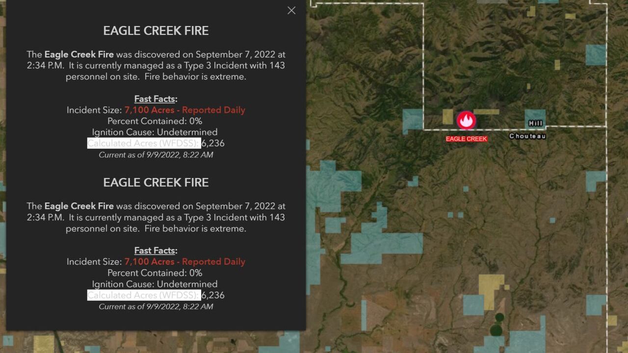
Eagle Creek Fire Is About 60% Contained
www.krtv.com
Oregon Eagle Creek Fire Map – United States Map
wvcwinterswijk.nl
Eagle Creek Oregon Map
fity.club
Eagle Creek Fire Is About 60% Contained

www.krtv.com
Smokehouse Creek Fire Lawyer | Wildfire Updates
www.firelitigation.org
Eagle Creek Fire Closure – PCT: Oregon

www.pctoregon.com
Eagle Creek Fire CGF-000493 Briefing Map 9/8/2017 : R/ImagesOfOregon
www.reddit.com
Eagle Creek Fire Has Burned More Than 8,000 Acres

www.krtv.com
Eagle Creek Fire has burned more than 8,000 acres


Leave a Comment